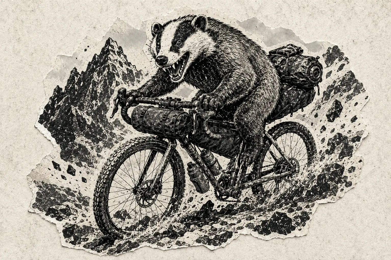
Big Beautiful Badger

Crowsnest Pass, Alberta · 7:00 AM · September 5, 2026

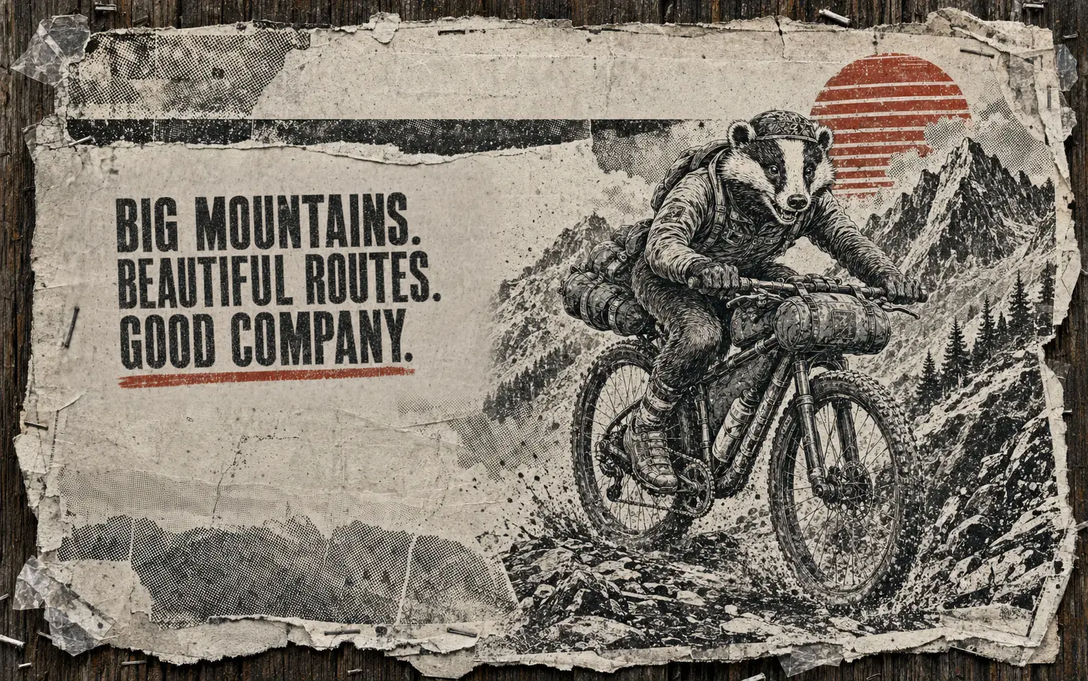
Big mountains.Beautiful routes.Good company.

Self-supported bikepacking. Shared start. Your own pace.
Two beautiful routes and one deeply questionable secret.

Meet the badgers

01 / Choose your badger

Two ways into big mountain country.

Both start and finish in Crowsnest Pass. Each is challenging, beautiful and made for an unforgettable ride.

Route 01

Baby is a relative term.

Baby Badger

360.7 km distance7,481 m climbing90% unpaved surface

A compact but challenging loop for riders who want the full Badger experience in a long weekend. Big climbs, rough roads, huge views and very little pavement.

Inspect the route
Route 02

The grand tour through big mountain country.

Big Badger

660.5 km distance11,013 m climbing83% unpaved surface

Elk, Sparwood, Cabin, North Kootenay, Crowsnest, Oldman, Highwood, Tombstone and Lusk passes stitched into one enormous loop. Longer gaps, a bigger commitment and a sweeping journey through some of the most majestic terrain in the southern Rockies.

Inspect the route

02 / The deal

Start together. Ride your way. Look out for one another.

01

One shared start

Roll out together from Crowsnest Pass at 7:00 AM on September 5, 2026. Stay together, regroup along the way or settle into your own rhythm. Final start-location details will be in the rider guide.

02

Entirely self-supported

There are no organized aid stations or sag wagon. Riders use ordinary commercial services and carry what they need to travel safely and responsibly.

03

Tracked by TrailBeacon

Friends and family can follow the adventure on one live map. Tracking shares progress; it is not emergency monitoring.

04

Your ride, your pace

Ride with friends, regroup along the way or ride solo. The weekend is about the route, the people and the experience—not placing.

03 / Field notes

Crowsnest makes a better base camp.

More attainable rooms, practical parking, good food and mountains immediately outside the door.

  • Weather: September can deliver heat, frost, smoke, rain and snow—occasionally before lunch.
  • Water: Carry a filter and enough capacity for exposed or questionable stretches.
  • Navigation: Bring the final GPX on two devices and know how to use both.
  • Wildlife: This is active bear country. Carry deterrent and store food properly.
  • Sleep: Carry shelter and insulation suitable for mountain weather and an unplanned stop.
  • Communication: Carry an emergency communication device, know how to use it and share your plan with a trusted contact.
  • Respect: Obey closures, respect wildlife and other trail users, and pack out everything you bring.

Routes use open public roads and trails. Conditions and access can change. Every rider is responsible for their own safety, decisions and evacuation.

04 / Frequently argued questions

Read this before emailing us at 2 a.m.

Is this a race?

Not in the conventional sense. There is a shared start, but no official timing, rankings, podium, prize purse or carefully branded finish-line arch. The goal is to experience the route, share the mountains with good people and come home with a story worth telling.

Do we have to stay together?

No. Some riders will stay with friends or form informal groups, some will leapfrog and regroup, and others will ride solo. This is not a guided or no-drop ride, so arrive ready to navigate, make decisions and complete or exit your route independently.

Is there support?

This is self-supported bikepacking on open roads and trails. There are no organized aid stations, course marshals, sag vehicle or rescue service. You are responsible for navigation, food, water, repairs, shelter, weather decisions and evacuation.

What bike should I bring?

A capable drop-bar mountain bike, flat-bar mountain bike or well-prepared hardtail, with dependable brakes, generous tire volume and low climbing gears. Prioritize comfort, control and durability for rough mountain terrain.

How does tracking work?

Friends and family can follow riders through TrailBeacon. Tracking is for sharing progress, not emergency monitoring; updates may be delayed or unavailable. Final tracker and registration instructions will be included in the rider guide before the start.

Are the routes final?

Not until the rider guide says so. Fire, weather, trail damage, closures and land access can all force changes. The published GPX is always more authoritative than an old screenshot or cached file.

05 / Names on the flyer

Badgers gathering.

Riders who have put their name down, where they call home, and the route currently calling them.

0Names down
0Baby
0Big
0Still deciding

Reading the latest names...

7:00 AM · September 5, 2026

Put your name on the flyer.

Tell us who you are and whether you are leaning Baby or Big. Formal TrailBeacon registration and the rider guide will follow.

Visit TrailBeacon ↗